1803
Hurts Hall
Built for the Long family by Samuel Wyatt.
1836
Church School
A single story church school built by the Long family. Later converted to two stories and eventually into private houses.
1838
Town Pump
Cast by Garretts of Leiston and given to the town by the Long family.
1842
The Bell Hotel
The hotel was built following the fire which had destroyed the old inn
1846
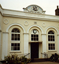
Market Hall
1848
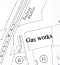
Town Gasworks
1850
The URC Chapel
1859
The Railway comes.
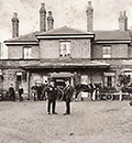
1880
Juvenile Oddfellows Hall
1883
Tennis Tournament
1890
Hurts Hall
The home of Colonel W.B. Long and family completely destroyed by fire. Reported by the Framlingham Weekly News, May 3rd.
1893
Hurts Hall
Hurts Hall rebuilt.
1895
Board School
New school opened on 29th October, eventually to become the Primary School before finally closing in 1993(?).
1906
Town Gasworks Sold
Town Gasworks Sold to a London firm, Messrs. Schultz, Comins, and Co., Cannon Street. :8It was offered the Saxmundham Urban Council who declined to buy it.
1907
Saxmundham Mill
.jpg)
1922
Mains sewers
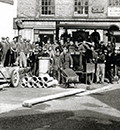
1934
Abif Lodge
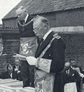
1934
Cinema Opens
Captain Atkinson converted a building in Church Street to form The Playhouse cinema.
1954
Telephone Exchange
GPO telephone exchange built on the site of the former Coach & Horses pub.
1957
Wilfred Pickles
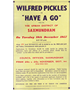
1962
Playhouse Closed
The cinema closed and the building became a showroom for a car dealership.
1966
Railway Cuts
The branch line to Aldeburgh closed.
1967
Roman Lamp
Roman lamp in red ware was found at a depth of 3 feet, 20 feet behind Ashfords (Currently Flicks).
This artefact is believed to have been given to Southwold Museum.
SHER Number: SXM 001
1987
Livestock Market Ends
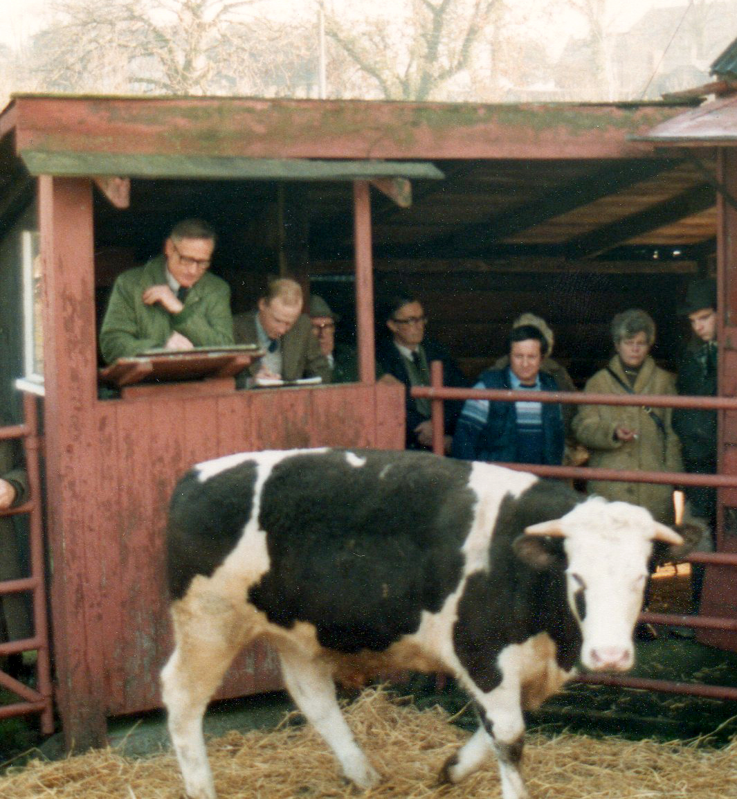
1987
A12 bypass
2001
Museum Founded
2003
Town Sign
The Town Sign at South Entrance erected
2004
Museum Opens
The first public visitors join with the committee and special guest Peter Purves on the opening night at the Museum.
2004
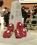
War Memorial
2012
Free School
Free School opens on the site of the old Middle School.
